


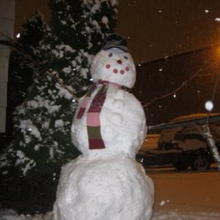
 Here’s a photo from Capitol Hill on a day last January. Here’s what the weather nerds say might happen this weekend:
…SNOW LEVELS COULD BEGIN AT 4000 TO 5000 FEET SATURDAY AFTERNOON AND PLUNGE TO 500 FEET OR LESS BY SUNDAY MORNING AS 1000/850 MILLIBAR THICKNESSES FALL BELOW 1300 METERS WITH 850 MILLIBAR TEMPERATURES APPROACHING -9 C. THIS TROUGH AND INITIAL FRONT IS EXPECTED TO USHER IN A MUCH COLDER AIR MASS AS A BROAD UPPER LEVEL TROUGH TAKES UP RESIDENCE OVER THE PACIFIC NORTHWEST. SUCH A PATTERN WOULD KEEP PRECIPITATION MOSTLY IN A SHOWERY FORM LATER SUNDAY AND BEYOND…WITH MORE SIGNIFICANT PRECIPITATION AIMED SOUTH OF THE REGION. IT MUST BE STATED THAT THERE ARE A NUMBER OF WAYS THAT THIS PATTERN COULD EVOLVE WITH COLDER AIR NOT HANGING AROUND AS LONG AS THE COLDER SOLUTIONS…
TOO MANY CAPITAL LETTERS… WHAT IS THIS SAYING… WHAT ARE MILLIBARS.. END TRANSMISSION.
He’s saying “Snow Saturday night, a lot on Sunday, and it’s going to be below freezing”. Millibars? I think that’s Saturday nights at Cuff.
I think Cliff does a pretty good job of making weather predicting accessible to the masses. See his interpretation here: http://cliffmass.blogspot.com/
just in time for my night class to be cancelled and through the weekend with no damages, injuries, deaths or accidents.
I never know what these guys are saying, and it drives me nuts. I’m a technical writer, and whoever writes these could definitely stand some technical editing.
I followed it all the way to the end (in spite of the obnoxious all-caps), I even know what millibars are, etc….but WTF are “the colder solutions”?